
Live Tracking for Search Operations
When every minute matters, command needs a clear picture. RescueDogs connects live locations, dog trackers, coordinates, What3Words and GPX data.
App Download
Press & Downloads
Questions about the app?
Image: Jessica Lea/DFID, Wikimedia Commons, CC BY 2.0, cropped.
.jpg)
Live tracking in RescueDogs sits where search dog teams need it: training, organization and the operations module. Members can share locations, dog trackers can be integrated and command can keep a clearer view of active teams.
The Problem Without a Live Picture
During a search, the situation changes constantly. Teams move, areas are worked, feedback arrives at different times and additional GPS data is created in other systems.
- Command cannot immediately see where teams and dogs are working.
- Locations are described over radio or messenger instead of being visible on one map.
- Dog tracker, drone or GPX data stays separate from operation documentation.
- Coordinates and 3-word addresses must be shared quickly under pressure.
How RescueDogs Bundles Live Tracking
RescueDogs allows live location sharing with organization members and in operation contexts. Recordings close cleanly when the search ends while staying traceable. In the operations module, live tracks from active responders, dog trackers and additional GPX data can be viewed together.
Share Location Live
During a search, location can be shared with selected team members. Live tracking ends automatically with the search.
Integrate Dog Trackers
Existing trackers can be integrated depending on provider or imported through GPX data so dog tracks do not remain isolated.
Coordinates & What3Words
Coordinates and 3-word address are directly available for orientation and communication.
Operation Map Overview
In the operations module, live tracks, search areas, markers, GPX data and feedback come together on one shared map.
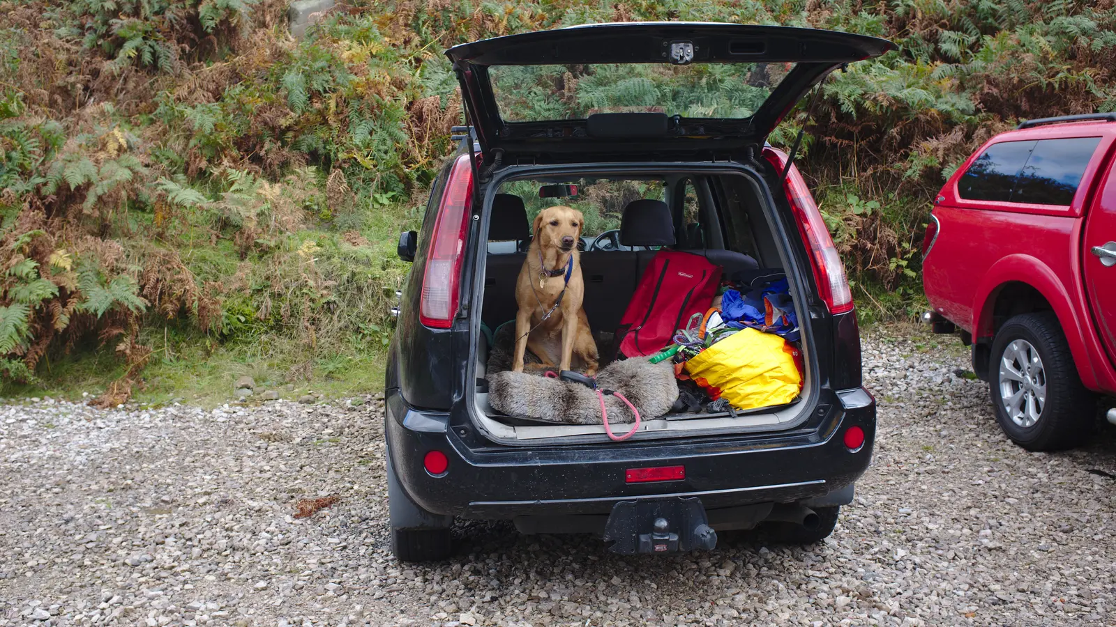
Image: Bob Harvey, Wikimedia Commons, CC BY-SA 2.0, cropped.
Live Locations with Control
Location sharing should support teams, not create uncertainty. RescueDogs uses live tracking inside the search or operation context and ties it to the workflow.
That is especially useful when teams work in different sections and command needs to understand whether areas are actually being covered.
More Data, Fewer System Switches
Search dog work often uses several GPS sources: smartphone, dog tracker, GPX files and sometimes drone or external track data. RescueDogs brings these data points into the relevant context.
Separate tracks become a readable situation picture that supports training, operations and later review.
Make Communication More Precise
The app can show current coordinates and the 3-word address. That helps teams share positions faster and more clearly when place names or terrain paths are ambiguous.
In the operations module, search sections, command or situation points, markers and feedback can also be included.
FAQ and Further Reading
You can find more answers in the FAQ section, in the general FAQ or on related RescueDogs pages.
FAQ
Can RescueDogs share live location?
Yes. In every search type, live location can be shared with selected organization members.
Does live tracking end automatically?
Yes. Live tracking ends when the search is completed. Finished searches remain traceable in the overview.
Are dog trackers supported?
Yes. RescueDogs supports external GPS tracker data, including GPX import and, depending on integration, live tracking.
Is live tracking only available in the operations module?
No. Live tracking is also available in search types and training contexts; the operations module extends it for coordination.
A Situation Picture That Moves With the Search
RescueDogs helps teams not only collect locations, dog tracks and operation data, but make them visible exactly when they matter.